Community Notice: Pala Reservation LiDAR Survey

PALA, CA – The Pala Band of Mission Indians and the Pala GIS Department announces the Pala Reservation LiDAR Survey.
Pala GIS Department
Pala Reservation LiDAR Survey
Pala, CA
March 7-11, 2022
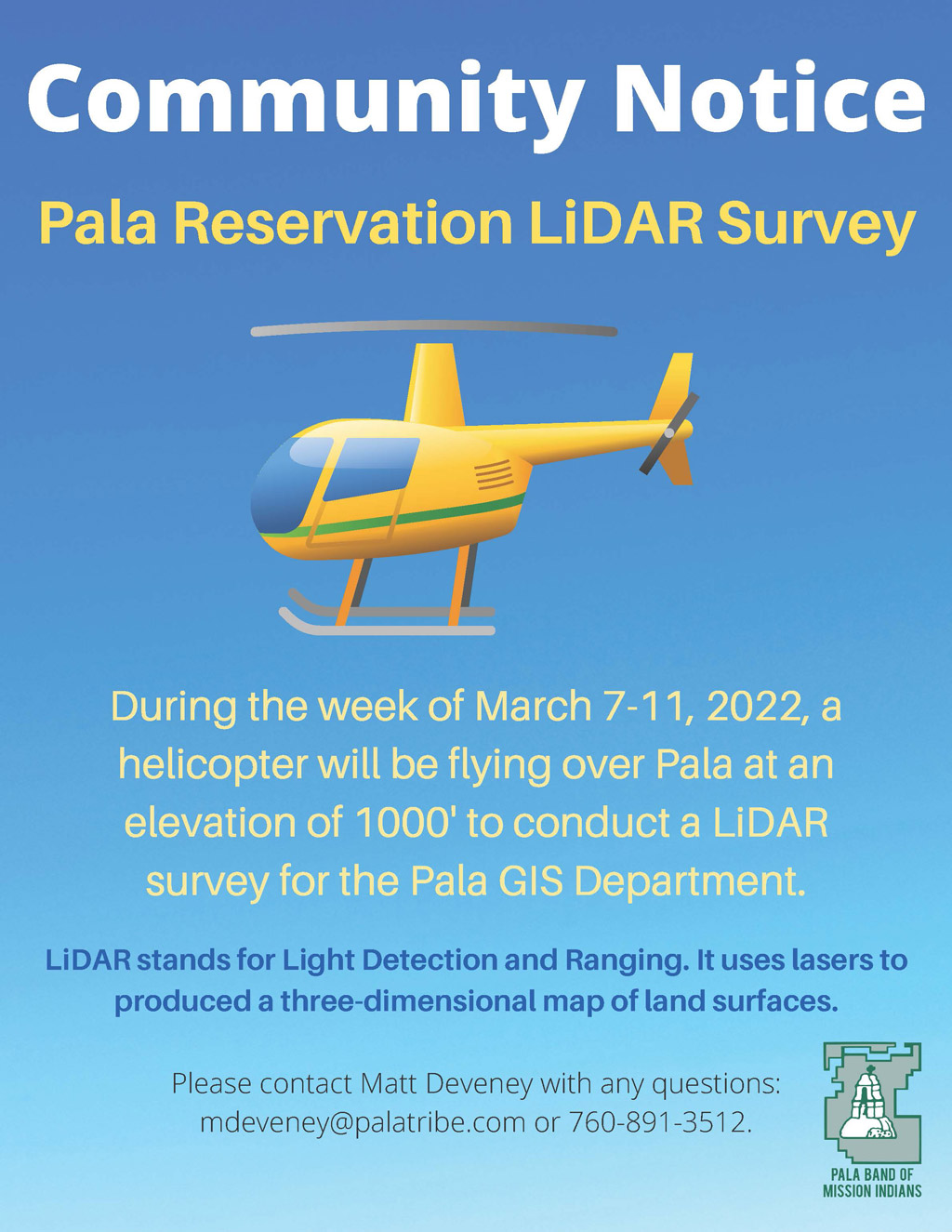
Beginning on Monday, March 7-11, 2022, a helicopter will be flying over Pala at an elevation of 1000 feet to conduct LiDAR (Light Detection and Ranging) survey for the Pala GIS Department.
LIDAR
LiDAR stands for Light Detection and Ranging. It uses lasers to produce a three-dimensional map of land surfaces.
Pala Band of Mission Indians GIS Department
For more information, contact the Matthey Deveney, GISP:
760-891-3512 | mdeveney@palatribe.com | Pala GIS Department